6.4Km
6.4Km
Note
 250m
300m
1.2Km
1.2Km
3.4Km
3.4Km
3.4Km
3.4Km
250m
300m
1.2Km
1.2Km
3.4Km
3.4Km
3.4Km
3.4Km
6.4Km
Gita da effettuarsi con condizioni di neve assolutamente stabilizzate.
Dato il grande dislivello è opportuno spezzare la gita fermandosi al rifugio ed è possibile non incontrare neve nella prima parte del percorso.
Panorami mozzafiato su tutte le cime di 4000 m della zona .
Prestare attenzione alla cresta finale in caso di cornici o ghiaccio.
Descrizione
Dato il grande dislivello è opportuno spezzare la gita fermandosi al rifugio ed è possibile non incontrare neve nella prima parte del percorso.
Panorami mozzafiato su tutte le cime di 4000 m della zona .
Prestare attenzione alla cresta finale in caso di cornici o ghiaccio.
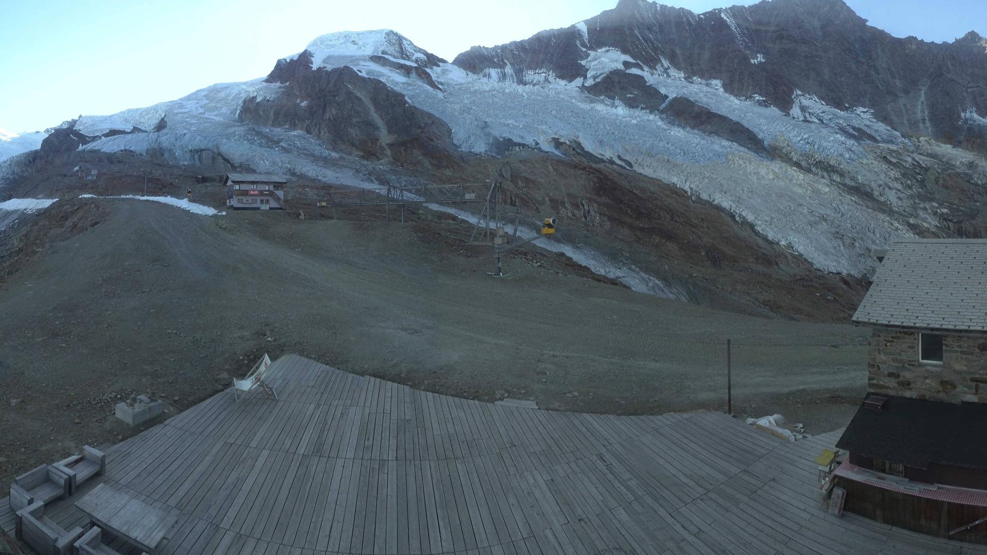
1° giorno:Da Saas Almagell,percorrere l’ottimo sentiero che,dal centro del paese,conduce all’Almagelleralp hotel 2176 m.Di qui prendere il sentiero che, con ripidi tornanti ed un lungo traverso,si inerpica sul lato destro orografico del vallone fino ad imboccare laWeisstal a quota 2531 circa. Di qui, proseguendo in direzione nordest, si perviene facilmente al rifugio, posto sull lato sinistro del vallone.
2° giorno:Dal rifugio rimontare la valle in direzione nord est raggiungendo, dopo aver superato un ultimo erto pendio, lo Zwischbergenpass. Di qui salire la ripida valletta, delimitata a sinistra dal crestone sud della Weissmies, spostandosi progressivamente verso destra a quota 3350 m. Affrontare il ripido pendio finale in direzione nord-nord est, raggiungendo a quota 3780 la rocciosa cresta sud. Lasciati gli sci, salendo detta cresta, con difficolta non superiori al II° grado, si arriva alla quota 3961. Proseguire per un’esile crestina nevosa, raggiungendo dapprima l’anticima poi la vetta.
Discesa: per l’itinerario di salita
- Cartografia:
- CNS f. 284Mischabel
- Bibliografia:
- Dalle marittime al vallese (cda torino)
Nelle vicinanze Mappa
Itinerari
09/04/2007 Visp, Saas-Almagell D+ 2430 m BSA Nord-Est
Strahlhorn da Saas-almagell
0m
04/03/2013 Visp, Saas-Almagell D+ 1532 m BS Nord
Saas (Punta di) da Saas Almagell
0m
25/05/2014 Visp, Saas-Almagell D+ 1670 m OSA Nord
Plattenhorn dall’Almagellertal
 250m
250m
12/05/2018 Visp, Saas-Almagell D+ 1700 m BSA Nord-Ovest
Loranco (Pizzo) o Mittelruck da Saas Almagell
 300m
300m
05/05/2013 Visp, Saas-Almagell D+ 1706 m OSA Varie
Stellihorn dalla Furggutalli con discesa a Mattmark
 1.2Km
1.2Km
12/06/2016 Visp, Saas-Almagell D+ 1500 m BS Nord
Loraccio (Punta di) dalla Furggutalli
 1.2Km
1.2Km
18/04/2022 Visp, Saas-Fee D+ 1336 m BSA Nord-Est
Alphubel dalla Langfluehutte
 3.4Km
3.4Km
21/05/2022 Visp, Saas-Fee D+ 1360 m BSA, F+ Nord-Est
Strahlhorn dalla Britanniahutte
 3.4Km
3.4Km
29/04/2019 Visp, Saas-Fee D+ 997 m BSA Nord-Est
Allalinhorn dalla Britanniahutte
 3.4Km
3.4Km
18/05/2014 Visp, Saas-Fee D+ 1157 m BSA Nord
Allalinhorn dalla Langfluehutte
 3.4Km
3.4Km
Servizi
6.4Km