Avvicinamento
 5.8Km
6.1Km
6.4Km
6.4Km
6.4Km
6.5Km
6.6Km
6.6Km
7.1Km
5.8Km
6.1Km
6.4Km
6.4Km
6.4Km
6.5Km
6.6Km
6.6Km
7.1Km
Dalla stazione di arrivo del Mitteallalin fino al bivacco sono 9.6 km per un dislivello positivo di 860 m.
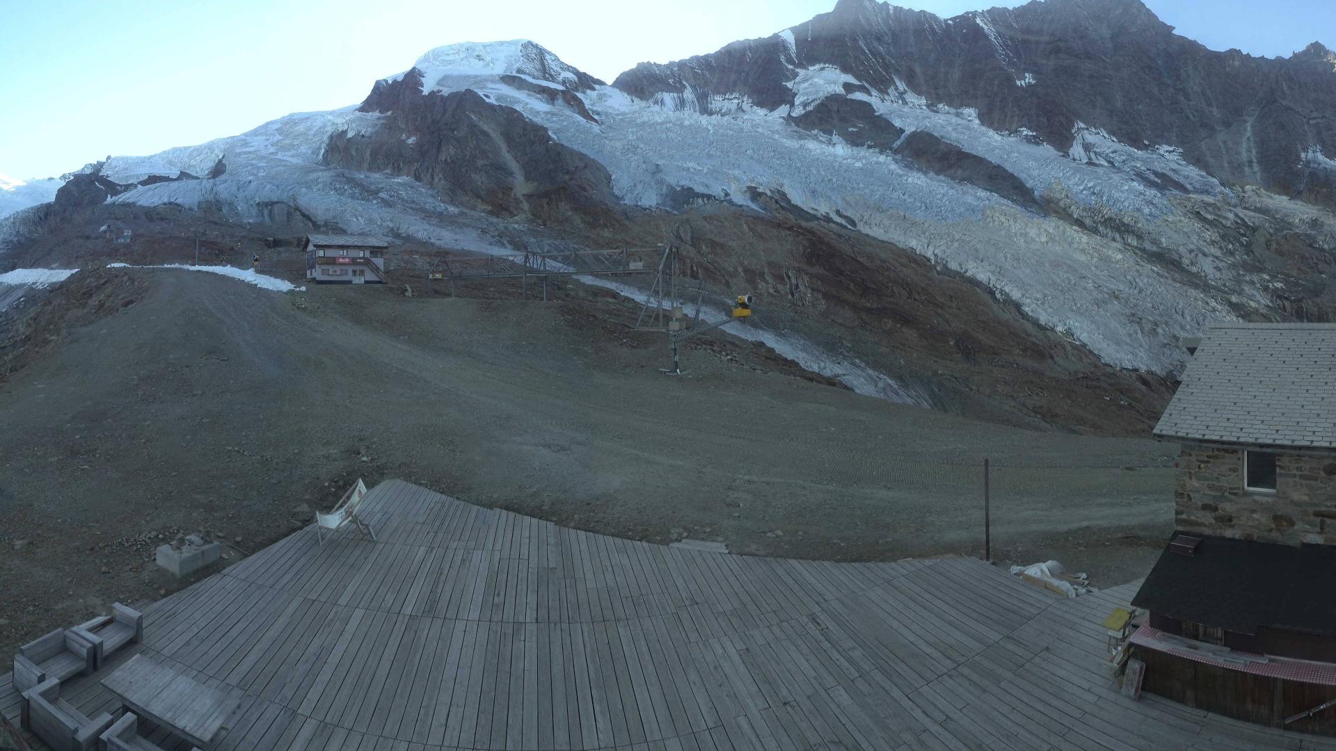
Descrizione
Dall’arrivo del trenino a Mittelallalin seguire l’itinerario che porta al Allalinhorn arrivati alla sella a 3800 si prende a destra la traccia per Alpubel su roccette e poi ampio ghiacciaio fino a risalire sulla spalla a poche centinaia di metri dal Alpubel si prende a destra per poi scendere su roccette in vista del bivacco. Da li salire in vetta dal normale itinerario della cresta SE ben tracciato .
Nelle vicinanze Mappa
Itinerari
29/06/2019 Visp, Saas-Fee D+ 2500 m D Tutte
Allalinhorn, Alphubel, Taschhorn, Dom, Lenzspitze e Nadelhorn Traversata Integrale della Corona Imperiale
5.6Km
26/05/1999 Visp, Saas-Almagell D+ 2150 m PD+ Sud-Ovest
Allalinhorn cresta sud ovest
 5.8Km
5.8Km
11/08/2008 Visp, Randa D+ 2600 m AD Nord-Ovest
Taschhorn dalla Kinhutte per la parete NO
 6.1Km
6.1Km
18/07/2021 Visp, Saas-fee D+ 1370 m PD Nord-Est
Strahlhorn Via Normale dalla Britanniahutte
 6.4Km
6.4Km
24/07/2022 Visp, Saas-fee D+ 571 m F+ Nord-Ovest
Allalinhorn Via Normale dal Mittelallalin
 6.4Km
6.4Km
04/08/2019 Visp, Saas-Fee D+ 850 m PD Varie
Alphubel e Feechopf da Mittelallalin
 6.4Km
6.4Km
01/07/2018 Visp, Saas-Fee D+ 2449 m PD Nord
Stecknadelhorn Cresta SE per il Nadelhorn
 6.5Km
6.5Km
29/07/2018 Visp, Saas-Fee D+ 2025 m F+ Varie
Ulrichshorn Cresta SO dalla Mischabel Hutte per il Windjoch
 6.6Km
6.6Km
05/07/2004 Visp, Saas-Fee D+ 1400 m AD Nord-Est
Strahlhorn cresta Nord-Est
 6.6Km
6.6Km
13/09/2021 Visp, Saas-Fee D+ 1000 m D- Nord-Est
Lenzspitze Parete NE
 7.1Km
7.1Km