3Km
3Km
Note
 17.8Km
23.1Km
17.8Km
23.1Km
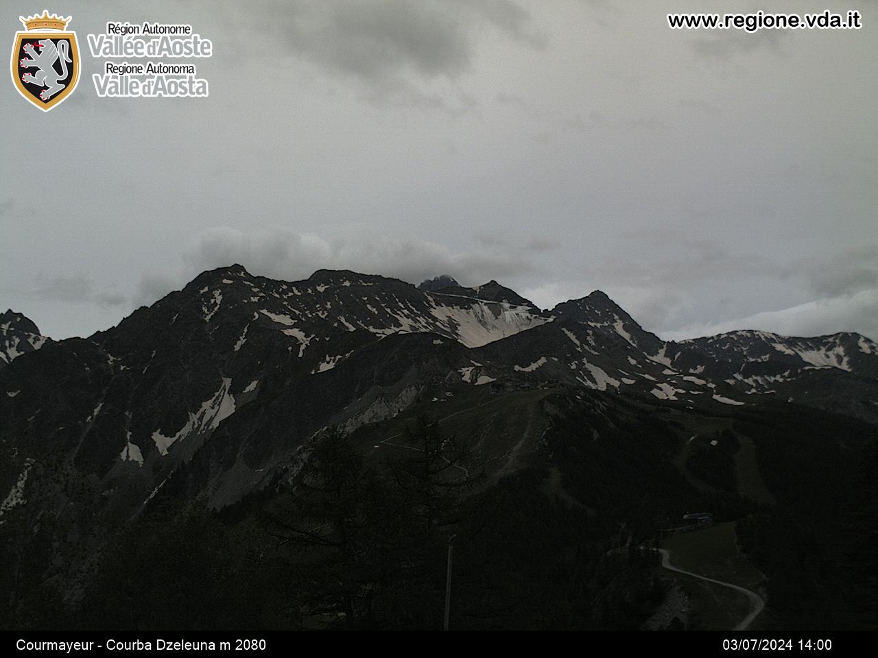
Il volo si svolge nella Val Sapin in ambiente bellissimo con vista su tutta la catena del Monte Bianco e Grandes Jorasses.
Atterraggio: nei prati posti a sinistra della strada di salita prima di arrivare al parcheggio di partenza, quota 1300. L'atterraggio è ben visibile sul sentiero di salita al rifugio Bertone, è il secondo ampio prato posto verso Courmayeur.
Avvicinamento
Atterraggio: nei prati posti a sinistra della strada di salita prima di arrivare al parcheggio di partenza, quota 1300. L'atterraggio è ben visibile sul sentiero di salita al rifugio Bertone, è il secondo ampio prato posto verso Courmayeur.
,
Descrizione
Accesso: Arrivare a Coumayeur con autostrada Torino-Coumayeur.
Entrare nel capoluogo quindi prendere a sinistra (direzione Entrèves) e poi a destra per il Villair. Pacheggiare in uno spiazzo a monte di Villair, prima del ponte che attraversa il torrente. Proseguire a piedi sullo sterrato sino al cartello che indica il sentiero per il rifugio Bertone.
Salire al rifugio posto a quota 2000 circa e proseguire sino al termine del crinale che vi porta sui Monti La Saxe.
Il decollo si trova una decina di metri sotto la cresta di arrivo.
Consiglio di arrivare in cresta e proseguire per la Testa Bernarda per gustarsi il favoloso Panorama.
- Cartografia:
- I.G.C Massiccio del Monte Bianco
Nelle vicinanze Mappa
Itinerari
12/08/2012 AO, Courmayeur D+ 1900 m Varie
Piccolo Monte Bianco o Petit Mont Blanc volo dal Bivacco Rainetto
8.4Km
21/07/2013 Haute-Savoie, Chamonix-Mont-Blanc D+ 3807 m Nord
Bianco (Monte) dal Refuge des Cosmiques
 17.8Km
24/07/2015 Haute-Savoie, Chamonix-Mont-Blanc D+ 1000 m Sud-Est
Planpraz
20Km
01/09/2013 Haute-Savoie, Saint-Gervais-les-Bains D+ 2400 m Ovest
Miage (Domes de) Traversata cresta e volo
20.5Km
28/09/2006 AO, Saint-Nicolas D+ 971 m Sud
Leissè o Leysser (Punta) da Vetan
 23.1Km