6.4Km
6.4Km


Avvicinamento
 0m
0m
0m
0m
0m
0m
0m
0m
650m
0m
0m
0m
0m
0m
0m
0m
0m
650m
6.4Km
,
Descrizione
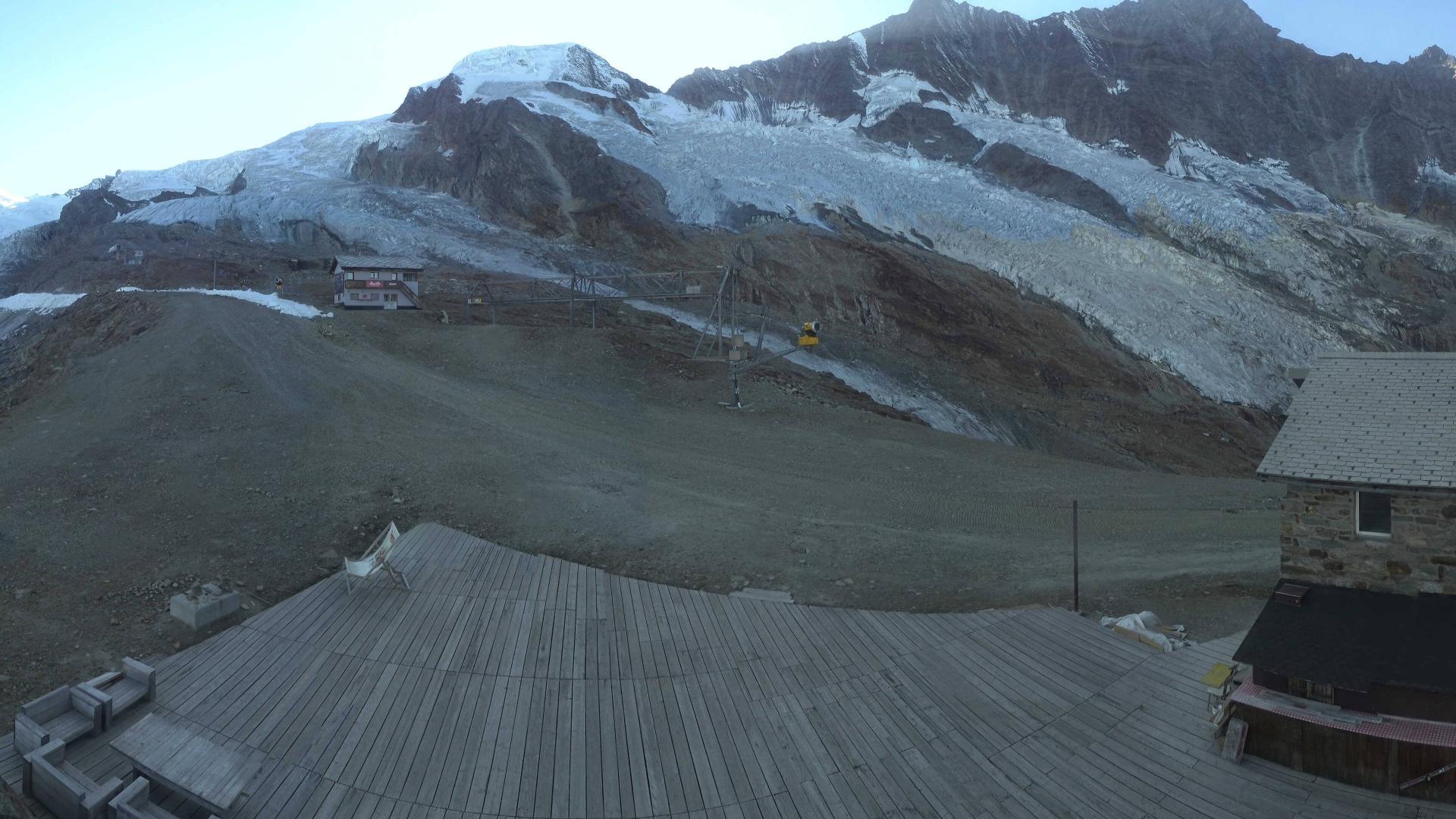
Dal rifugio prendere il sentiero che in pochi minuti conduce all’inizio del ghiacciao (strada in comune con la via normale al Nadelhorn).
Da qui deviare a sx e per facili roccette e misto raggiungere l’attacco vero e proprio della cresta.
Da qui in avanti pressochè impossibile sbagliare..seguire sempre il filo della cresta rimontando anche il Gran Gendarme dal quale ci si cala per circa 5 mt. Quasi tutto 3° e qualche passaggio di 4°. Giunti alla spalla nevosa la si rimonta sempre sul filo 45-50° ( spesso ghiacciata ) e poi per facili roccette in cima. La traversata al Nadelhorn, sempre di 2°-3° è lunga ed aerea. La roccia non è delle migliori e comunque per ogni torrione da rimontare è previsto uno spit o un fittone per la calata seguente.
- Cartografia:
- Landeskarte 1:25000 Randa 1328
Nelle vicinanze Mappa
Itinerari
17/08/2019 Visp, Saas-Fee D+ 907 m D- Sud
Mischabel (Dom de) – Taschhorn Traversata
 0m
0m
24/08/2022 Visp, Saas-Fee D+ 3200 m AD Varie
Nadelhorn Nadelgrat dalla Mischabelhutte
 0m
0m
18/06/2022 Visp, Saas-Fee D+ 1200 m PD+ Varie
Rimpfischhorn Via Normale dalla Britannia Hutte
 0m
0m
09/08/2021 Visp, Saas-Fee D+ 571 m AD Nord-Est
Allalinhorn Parete NE
 0m
0m
16/07/2022 Visp, Saas-Fee D+ 2527 m PD Est
Nadelhorn Via Normale della Cresta NE
 0m
0m
25/08/2017 Visp, Saas-Fee D+ 1336 m PD- Est
Alphubel Via Normale dalla Langfluehutte
 0m
0m
08/07/2007 Visp, Saas-Fee D+ 1047 m F+ Nord
Allalinhorn Via Normale dalla Britanniahutte
0m
30/08/2021 Visp, Saas-Fee D+ 1100 m AD- Est
Allalinhorn Cresta Est (Hohlaubgrat)
 0m
0m
13/09/2021 Visp, Saas-Fee D+ 1000 m D- Nord-Est
Lenzspitze Parete NE
 0m
0m
05/07/2004 Visp, Saas-Fee D+ 1400 m AD Nord-Est
Strahlhorn cresta Nord-Est
 650m
650m
Servizi
6.4Km