150m
150m


Note
 100m
200m
450m
950m
1.1Km
1.1Km
1.1Km
1.1Km
1.1Km
1.2Km
100m
200m
450m
950m
1.1Km
1.1Km
1.1Km
1.1Km
1.1Km
1.2Km
150m
200m
850m
1.1Km
1.4Km
3.8Km
3.9Km
5.2Km
8.6Km
9Km
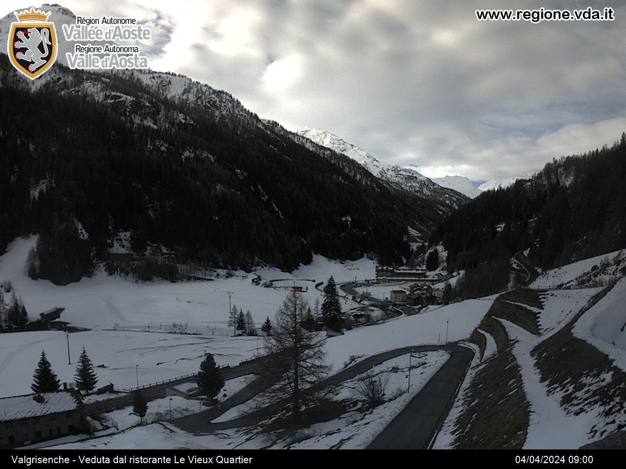
Non è un itinerario che porta su vette o su colli importanti, è invece una facile e piacevole ciaspolata nel vallone di Plontaz attraverso i suoi vari alpeggi, diroccati oppure ancora in attività.
Il percorso si svolge in gran parte sulla strada sterrata quindi quasi sempre abbastanza agevole salvo copiose precipitazioni nevose che ne cancellano la traccia; la progressione poi viene quasi sempre facilitata dalle tracce di sci lasciate dagli sci-alpinisti diretti al Col Cussuna.
La destinazione che completa questo itinerario sarebbe l’alpeggio di Bruille (Brevil) nell’adiacente vallone di Cussuna, al naturale capolinea della strada; passati però gli alpeggi di Cotteun e Plontaz la poderale scompare, inghiottita dalla neve, per cui il raggiungimento di questo logico traguardo è un po’ a rischio: ecco perchè l’itinerario qui descritto si ferma a Cotteun.
Avvicinamento
Il percorso si svolge in gran parte sulla strada sterrata quindi quasi sempre abbastanza agevole salvo copiose precipitazioni nevose che ne cancellano la traccia; la progressione poi viene quasi sempre facilitata dalle tracce di sci lasciate dagli sci-alpinisti diretti al Col Cussuna.
La destinazione che completa questo itinerario sarebbe l’alpeggio di Bruille (Brevil) nell’adiacente vallone di Cussuna, al naturale capolinea della strada; passati però gli alpeggi di Cotteun e Plontaz la poderale scompare, inghiottita dalla neve, per cui il raggiungimento di questo logico traguardo è un po’ a rischio: ecco perchè l’itinerario qui descritto si ferma a Cotteun.
Seguire la statale 26 della Valle d’Aosta fino a Arvier dove si imbocca la SR per la Valgrisenche, proseguire fino al capoluogo Valgrisenche dove si parcheggia
Descrizione
Si parte da Valgrisenche, località Mondange dove vi sono gli impianti sportivi e l’Hotel-Foyer.
Se l’innevamento non è eccessivo si può optare di percorrere il primo tratto del sentiero estivo 7-8-9 fino a ricongiungersi con la strada asfaltata nei pressi della diga (ora ribassata), altrimenti si risale la strada asfaltata.
Arrivati al largo spiazzo nei pressi della vecchia diga si imbocca la strada del lungo-lago (sponda destra); la strada, ormai impraticabile, è subito chiusa al traffico veicolare da una grata ma è possibile il passaggio pedonale. Proseguire fino a passare una breve galleria, dopo la quale si trova il bivio per Rocher. Lasciare qui il lungo-lago e prendere il ramo di sinistra che con alcuni tornanti arriva in breve ad un successivo bivio dove occorre prendere (indicazioni pirografate su legno) il ramo di destra per Plontaz-Quattro Denti; il ramo di sinistra porta invece ai ruderi e chiesetta di Rocher (1900 m).
Proseguire dunque lungo la sterrata; dopo un primo lungo tratto quasi rettilineo ci si lasciano sulla sinistra i ruderi di Bouque e dopo alcuni zig-zag si arriva ad un tornante con lo stacco (da ignorare) del sentiero n.9 per il Rifugio Epee. Percorso ancora un breve tratto la strada entra nel vallone di Plontaz dove sono subito ben visibili le baite di Prariond e la chiesetta di Benevy (2095 m).
Seguire la sterrata che aggira le baite di Boche (2074 m), risale alcuni dolci pendii e si immette sullo stesso percorso dell’Alta Via 2 che proviene dall’alpeggio di Le Bois; costeggiare gli alpeggi abbandonati di Pra Londzet, superare il torrente su un ponticello e poi seguire sempre il tracciato della sterrata, qui abbastanza evidente, che porta al grande alpeggio di Cotteun (2300 m).
Discesa consigliata lungo lo stesso percorso di salita.
Arrivati a Cotteun, seguendo la sterrata che costeggia l’alpeggio (destra salendo) si può arrivare all’alpe di Plontaz (2303 m), mentre se si vuole arrivare al successivo alpeggio di Bruille (2481 m) nel vallone adiacente occorre individuare il percorso della poderale che però molto facilmente si perde subito nella neve. Si possono seguire le probabili tracce di sci-alpinisti ma l’arrivo a destinazione è comunque avventuroso
- Cartografia:
- Carta L’Escursionista, n. 3 Valgrisenche-Val di Rhemes, scala 1:25000
Nelle vicinanze Mappa
Itinerari
18/04/2022 AO, Valgrisenche D+ 1591 m BR Nord
Forciaz (Mont) cima est, da Valgrisenche
 100m
100m
06/02/2011 AO, Valgrisenche D+ 1549 m OR Nord-Ovest
Feluma (Punta) da Valgrisenche
 200m
200m
25/02/2023 AO, Valgrisenche D+ 1030 m MR Varie
Sigaro (il) da Valgrisenche
 450m
450m
19/03/2017 AO, Valgrisenche D+ 950 m BR Varie
Quattro Denti (Becca dei) dalla Diga di Beauregard per il Vallone di Pra Longet
 950m
950m
28/02/2022 AO, valgrisenche D+ 1153 m MR Nord-Est
Arp Vieille (Mont) da Bonne
 1.1Km
1.1Km
21/04/2010 AO, Valgrisenche D+ 1511 m BRA, F Nord-Ovest
Rabuigne (Punta di) da Bonne
 1.1Km
1.1Km
07/06/2013 AO, Valgrisenche D+ 1400 m BRA, F+ Nord-Est
Ormelune Ovest (Monte) da Bonne
 1.1Km
1.1Km
03/11/2018 AO, Valgrisenche D+ 560 m MR Nord-Ovest
Chalet de l’Epée (Rifugio) da Bonne
 1.1Km
1.1Km
26/03/2016 AO, Valgrisenche D+ 1636 m BRA, F+ Sud-Est
Rutor (Testa del) da Bonne
 1.1Km
1.1Km
17/04/2010 AO, Valgrisenche D+ 1636 m BRA, F+ Varie
Rutor (Testa del) da Bonne, traversata a Planaval per il Colle dello Chateau Blanc
 1.2Km
1.2Km
Servizi
150m
200m
La Tana delle Volpi Ristorante
Valgrisenche
850m
Grande Sassiere Albergo
Valgrisenche
1.1Km
Perret Albergo
Valgrisenche
1.4Km
Maison des Myrtilles Albergo
Valgrisenche
3.8Km
Chalet de L’Epée Rifugio
Valgrisenche
3.9Km
Degli Angeli Rifugio
Valgrisenche
5.2Km
Paramont Albergo
Arvier
8.6Km
Grande Rousse Albergo
Rhêmes-Notre-Dame
9Km