 1Km
1Km
Vista l’esposizione soleggiata del percorso è possibile percorrerlo anche nelle mezze stagioni o in inverni secchi, tenendo però presente che si potrebbero trovare rocce umide/verglassate
Tempo di percorrenza h30’ la salita, 2 h circa la discesa
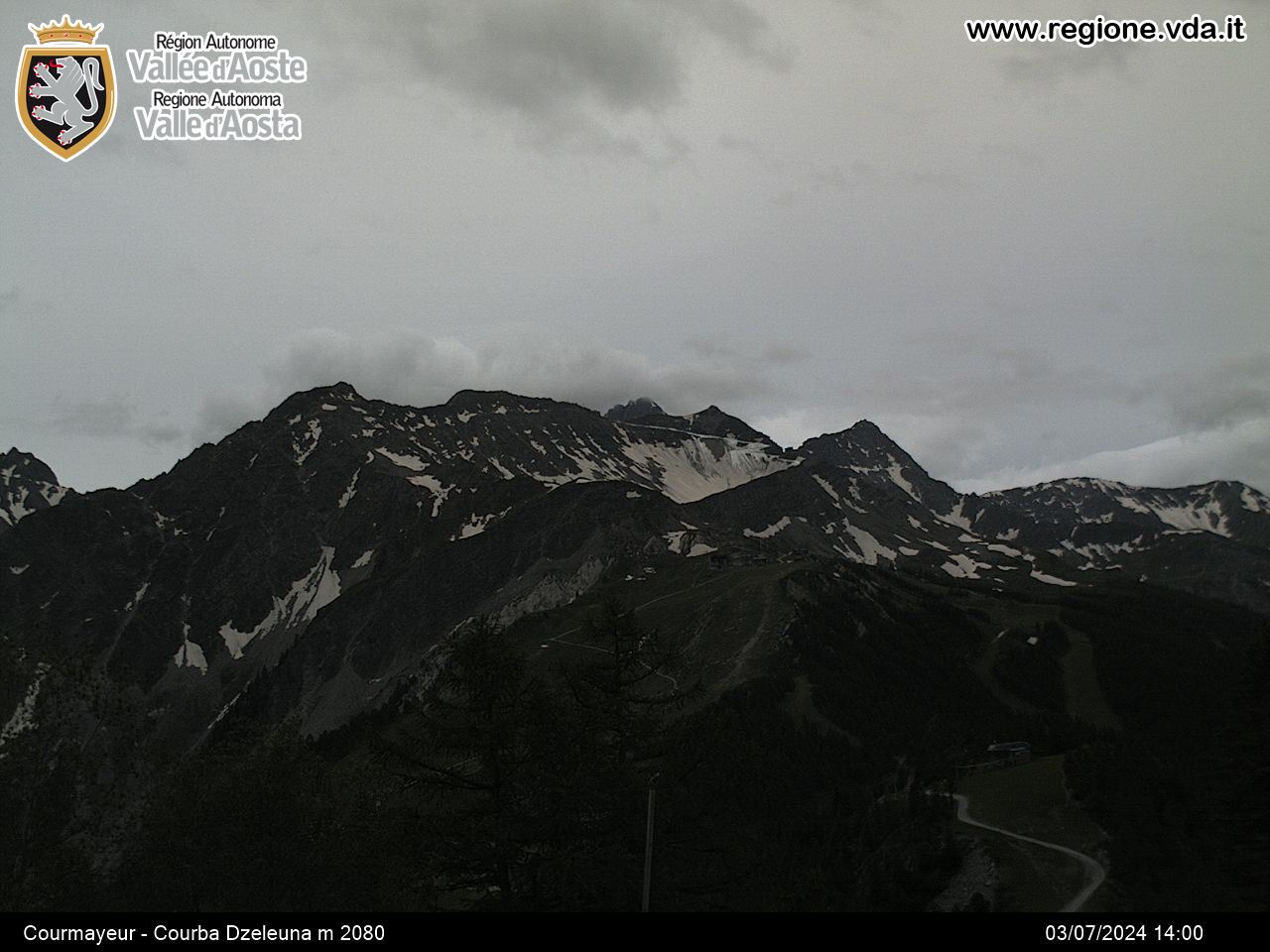
La cima, che domina Courmayeur, è uno dei balconi più panoramici sull’intero gruppo del Monte Bianco.
Dalla strada asfaltata che passa dietro al palasport in località Villette, inizia il sentiero n.4 che attraversa un prato recintato sulla destra, lo si attraversa e si entra in un tratto boscoso. In questa fase occorre prestare attenzione ai pochi segnavia perché il sentiero risulta poco marcato e si incontra qualche diramazione secondaria. Si giunge ad una parete attrezzata per vie di arrampicata, e si continua a sinistra su buon sentiero che ora sale ripido nel bosco che via via si dirada.
Dopo 40’ si arriva così all’inizio del tratto attrezzato, dove può essere consigliato indossare imbrago e usare longe per assicurarsi alle catene.
Si inizia con un traverso su una cengia un po’ esposta, che precede l’unico tratto del percorso leggermente più impegnativo e strapiombante: un diedro facilitato da alcuni scalini metallici.
Da qui in poi si riprende a salire facilmente aiutandosi con le catene, che per un tratto saranno continue.
Dopo il percorso attrezzato diventa molto più discontinuo, lasciano ampio spazio alla camminata su sentiero ripido ma non problematico.
Si arriva ad un bel balcone panoramico con la prima veduta sul Monte Bianco, prima di tornare sul versante sud-est in un tratto boscoso.
Si prosegue la salita tra balze erbose e facili tratti di roccette, catene qua e là utili specialmente con umido.
Ogni tanto il sentiero si perde un po’, occorre cercare isegnavia gialli che in verità non sono molti ed un po’ sbiaditi.
A 2000 m circa si incontra il bivio con il sentiero n.5 proveniente dalla Val Venì, che si ignora proseguendo sulla sinistra, sempre sul versante di Courmayeur. (Volendo si uò anche passare da questo percorso, ma si allunga il giro).
Si affronta l’ultimo breve tratto con catene, una breve discesa su roccette, prima di compiere il lungo traverso ascendente che segue il grosso risalto sotto le pareti della cima. Terminato il traverso si punta ad un ripetitore ben visibile, tramite un sentiero davvero ripido e faticoso.
Si sbuca così sul crinale spartiacque con la Val Venì, dal quale percorrendo la facile traccia o per cresta o poco sotto si giunge al punto culminante.
- Cartografia:
- IGC 1:25000 N.107
- Bibliografia:
- escursioni e vie ferrate in Valle d'Aosta
Nelle vicinanze Mappa
Itinerari
Tirecorne (Baite) da Ermitage, anello per la Suche
 600m
600m
Liconi (Testa di) da Villair
Youla (Col di) da Dolonne
 750m
750m
Courba Dzeleuna da Dolonne
 750m
750m
Cormet (Mont) da Courmayeur, traversata a Morgex
 900m
900m
Berrio Blanc (Colle del) da Courmayeur, anello per Col de la Seigne, Col des Charmonts e Mont Fortin
 900m
900m
Monte Bianco (Giro del) da Courmayeur, giro del Monte Bianco antiorario (4 gg)
Arp (Testa d’) da Dolonne
 1Km
1Km
Arp (Colle) da Dolonne, anello per Colle di Youla e discesa per la Val Veny
 1Km
1Km


