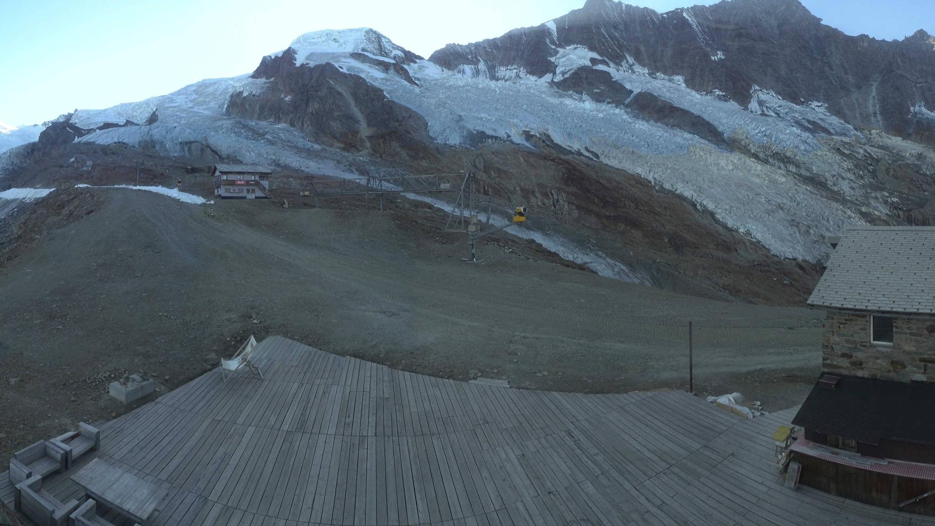
Dal parcheggio si prende la strada sterrata ad uso dei gestori del rifugio, che in circa un'ora e mezza raggiunge la Täschhütte a 2701 m.
Dalla Täschhütte si sale in direzione Est per i pendii morenici di Chummibodmen. Si passa nei pressi di un laghetto a quota 3162 e ci si tiene a destra (Sud) della fascia rocciosa, culminante a quota 3510, che divide in due rami l’Alphubelgletscher.
Raggiunto il ghiacciaio si risale dapprima in direzione Est-Sud-Est fino alla quota di circa 3500 metri per poi deviare a sinistra, dopo un isolotto roccioso che si lascia a sinistra. Si affronta un tratto più ripido con presenza di crepacci, passato il quale per ampi pendii in direzione Est si raggiunge la sella dell’Alphubeljoch a 3771 m, ben distinguibile anche dal rifugio.
Dal valico, senza perdere quota, si percorre verso Nord-Nord-Ovest il versante orientale dell’Alphubel, passando sotto le rocce che sostengono la cima; con una lunga diagonale, facendo attenzione alla crepaccia terminale, ci si porta ad una conca dove ci si congiunge con la traccia proveniente dalla Längfluehütte.
Si risale il pendio in direzione Ovest, a debita distanza dai seracchi presenti. La pendenza all’inizio è molto sostenuta ma si riduce leggermente in vista della cresta sommitale, che percorsa quasi in piano verso Sud conduce alla vetta a 4206 m. La discesa avviene per lo stesso percorso.
Dall’Alphubeljoch è anche possibile raggiungere la vetta a piedi per la cresta Sud-Est; il tratto finale è esposto e piuttosto ripido, classificato PD-.
- Cartografia:
- CNS 1:25000 f.1328 Randa
- Bibliografia:
- G. Buscaini, Monte Rosa, ed. CAI-TCI
Nelle vicinanze Mappa
Itinerari
Strahlhorn Traversata Tashhutte – Monte Rosa Hutte
 50m
50m
Jungfrau da Monchsjochhutte
 6.1Km
6.1Km
Rimpfischhorn da Taschalp, traversata Taschhutte Mellichen Gletscher
 6.1Km
6.1Km
Mischabel (Dom de) da Randa
 7.6Km
7.6Km
Alphubel dalla Britanniahutte
 9.7Km
9.7Km
Dufour (Punta) o Dufourspitze dalla Monterosa-hutte per la Silbersattel e il versante Nord
 9.7Km
9.7Km
Zumstein (Punta) dalla Monterosahutte per il Grenzgletscher
Silbersattel dalla Monterosahutte
 10.1Km
SchonBielHutte dal Colle del Teodulo
Nadelhorn da Gasenried
 10.1Km